Relief of the Far East of Russia
The Far East consists of 8 regions. These regions have many differences: climate, geological structure, etc. All these features are more influenced by the relief of the Far East. The largest entities are Yakutia, Primorye, the Khabarovsk Territory, Kamchatka, Chukotka and Sakhalin. Smaller in area are the Amur Region and the Jewish Autonomous Region.
In geography there is such a thing asphysico-geographical country. This is a large unit of terrain. It means any part of the continent where the relief is the same or it goes from one to the other logically. The geographic country includes more territories than the geographic region.
Let's study the geological structure and the relief of the Far East in more detail.
North-Eastern Siberia
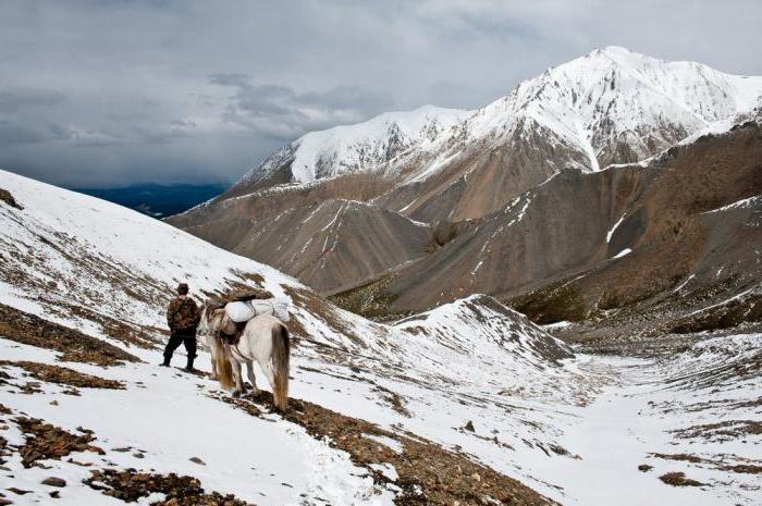
One of the geographical countries isNorth-Eastern Siberia. The borders of this zone included Yakutia, Chukotka and Magadan Oblast. North-Eastern Siberia in the north is washed by the Laptev Sea, East Siberian and Chukchi Sea. South of the Sea of Okhotsk. This is the largest part that determines the shape of the relief of the Far East.
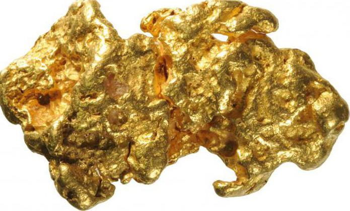
North-Eastern Siberia is characterized by the fact thatThe highest mountains of this region form a kind of arc, similar to the amphitheater. It includes the Kolyma Highlands and the Verkhoyansk Range. These are the highest mountain peaks stretching along the eastern and southern parts of Northeast Siberia. The Kolyma Highlands is mostly located in the territory of the Magadan Region. A lot of useful resources are hidden in the Kolyma Highlands. These places are rich in gold and tin deposits, as well as rare earth metals. In addition, in these parts there are various thermal springs.

Suntar-Hayat Range: a brief description
The Suntar-Hayat Range is one of the importantcomponents, of which the relief of the Far East of Russia consists. It is also part of the formed "amphitheater". This mountain range stretches for a distance of 450 kilometers, and its highest point is determined by a mark of 2959 meters. More than 200 square meters. Suntar-Hayat is covered by glaciers, and another 800 sq. km. km occupied by perennial ice, formed by groundwater. Its thickness in some places can reach 8 m.

North-Eastern Siberia: Verkhoyansk Range
The longest mountain chain in the NortheastSiberia - Verkhoyansk mountain range. Characteristics of the relief of the Far East will be incomplete if you do not consider in detail these vertices. The Verkhoyansk Range is 1200 km long. Its width in some places reaches 250 km. The mountain peaks of this range rise 2 km above sea level. The Verkhoyansk mountain chain belongs to the territory of Yakutia.

The Chersky Range
Slightly lower from the Verkhoyansk range formed ina large number of plateaus. They include the Chersky ridge as well. Its highest point is located on Mount Pobeda, which reaches a height of 3003 meters above sea level. The Chersky Range stretches for fifteen hundred kilometers, capturing the territory of the Magadan Region and Yakutia.
North-Eastern Siberia: lowlands
Features of the relief of the Far East are presentednot only in mountain formations, but also in lowlands. In North-Eastern Siberia, the last two. This Kolyma and Yano-Indigirskaya. Together they form a swampy East Siberian lowland, which is the lowest level of the relief of this region. Its average height varies from 50 to 100 meters above sea level. The climate in these places is subarctic, and the entire territory of Northeast Siberia is divided into tundra, taiga and the Arctic desert zone.
Primorsky Krai
The relief of the Far East in the Primorye Territory consists ofon 20% of the lowland, which is located on the territory south of Lake Khanka. It is believed that this place is the most populated not only in Primorsky Krai, but throughout the Far East. The Prihanka plain is surrounded by the Sikhote-Alin mountains and the Manchurian mountains. The climate here, as in all Primorye, is moderately monsoon. The most full-flowing river in the Primorsky Territory is Ussuri, which begins its flow from the slopes of the Snow Mountain. The highest peak is Anik peak, located at an altitude of 1933 meters.
Features of the Sakhalin Region
The relief of the Far East on Sakhalin is mainlyis represented by mountain formations of medium height. And in the north of the island is dominated by hilly plains. On Sakhalin there are as many as 11 selected relief areas. The peninsula of Schmidt is characterized by steep steep banks in the north and ridges of mountains up to 623 meters high. To the south, the mountainous terrain of the peninsula goes to the North-Sakhalin plain. Its highest point is 601 m. The northeastern shore of Sakhalin, allocated as a subarea, boasts large lagoons. Along the western coast of the island stretch the West Sakhalin mountains. Their length is 630 km. They stretched almost to the very south of the island.
In the middle of SakhalinTym-Poronayskaya lowland, named so due to the rivers Tym and Poronay, along which it was formed. The Susunai lowland rests on the West Sakhalin mountains. It is located in the south of the island and has a length of about 100 km from north to south.
East Sakhalin is framed by the East Sakhalinthe mountains. This region includes the Nabilsky mountain range, which goes to the Central and then sharply turns the North-Sakhalin lowland. On the Korsakov Plateau is the city of Korsakov. The plateau has a wavy surface, which is formed by small flat-topped ridges. The climate in Sakhalin is moderately monsoon.

Kamchatka: topography and features
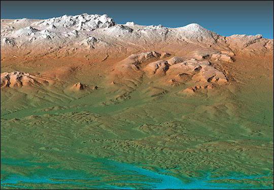
The relief of the Far East (Kamchatka) is, inmostly mountain ranges. The two largest are the Eastern and the Middle. The mountains occupy two thirds of the territory of the Kamchatka Territory. In these places, seismic activity is very developed, frequent earthquakes occur. This is due to the fact that Kamchatka continues to rise. Some parts of the land, still relatively recently under water, have now risen and continue to move upward.
The strongest earthquakes, whose powerreached 8 points, were recorded in the eastern part of the peninsula. To the center, the strength of earthquakes decreases to 6 points, and the weakest tremors occur on the west coast. There they are rated at 5 points or lower. Some volcanoes continue to operate in Kamchatka. One of them is called Klyuchevskaya Sopka, its height is now 4750 meters. The greatest number of volcanoes is concentrated in the Sredinny Ridge. Some of them collapsed due to constant eruptions. They were so strong that almost no traces left of the ancient volcanoes. Their existence in our days can be learned only by the characteristic breed. Kamchatka also abounds in deposits of ores, placers of non-ferrous metals and combustible minerals. In the lands of this region about 600 tons of gold reserves.
Let's sum up the results
According to all the data, it can be judged that the relief of the FarThe East of Russia is characterized by a large number of mountain ranges. And both high (in the center of the district), and small hills that are closer to the extreme northern and southern points. The mountains contrast with the deep swampy plains stretching along rivers and lakes. But the climate, due to the large extent of the district, is very different. From moderately monsoon in the south to the Arctic in the north. Also in the Far East, virtually all activities for the extraction of diamonds and tin are concentrated.
</ p>